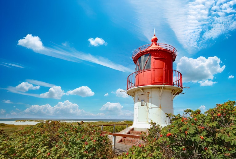
Embedded in the salty North Sea lies the enchanting Amrum island in the district of Nordfriesland in Schleswig-Holstein, Germany. With its pristine beaches, picturesque villages and breathtaking landscapes, has Amrum conquered the hearts of travelers from all over the world.
Where is Amrum located?
Amrum is a North Sea island in the district of Nordfriesland in Schleswig-Holstein, Germany.
It belongs to the North Frisian Islands and with an area of 20.46 km² is the tenth largest island in Germany. The island is bordered in the west by the offshore Kniepsand, which flows into the open North Sea flows into the river, and in the east to the Wadden Sea. In the south it is separated by the Rütergat from the Halligen and in the north by the pretrap low from the Sylt island separated.

Map from the North Sea island Amrum
Where is Amrum & how many villages are there on Amrum?
The island has five villages: Norddorf, Nebel, Süddorf, Steenodde and Wittdün, which are mainly located in the eastern part of the island. Lake Wriakhörn is located at the southern tip. The island is next to Sylt and Föhr one of the three North Frisian Geestkern islands. It has a shallowly curved moraine from the Saale glacial period that is about 6 km long and 2.5 km wide. The Kniepsand is a high sand that runs around the northern tip of the island.
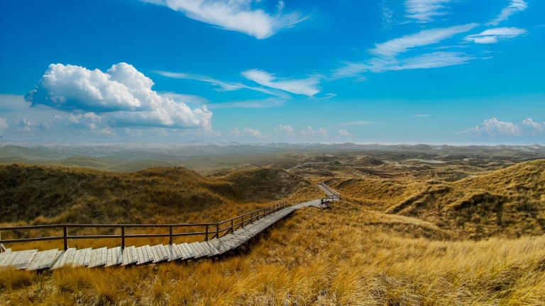
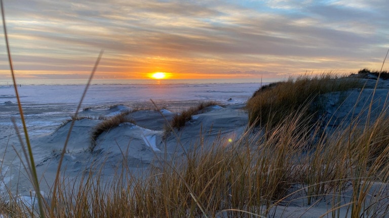
Amrum's dune area stretches the entire length of the island with a maximum width of more than one kilometer and a length of about twelve kilometers on a total area of about 700 hectares. There are primary, white and gray dunes, as well as some former shifting sand dunes that have been planted. The dunes are the only ones on the west coast used by gulls and ducks for breeding. To the north, the dune area merges into the Odde.
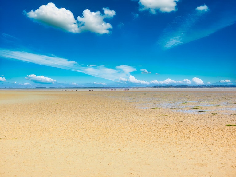
The island's forest and heath areas form a band in a north-south direction on the geest ridge. North of Norddorf lies the Norddorfer Marsch, a marshland of about 0.5 km². Another, smaller marsh area is located between Steenodde and Wittdün. Both areas are protected from flooding by dikes. At low tide, a mudflat hike to the neighboring island of Föhr possible.