Are you looking for a Resort at the North Seathat offers both beautiful landscapes and relaxation? Then you are on Langeoog just right, one of the most beautiful Islands of the East Frisian archipelago.
Where is Langeoog ?
Langeoog is located off the coast of East Frisia, which is in the northern part of Germany. Surrounded by the North Sea the island is part of the Lower Saxony National Park. Wadden Sea. Two neighboring islands, Spiekeroog in the east and Baltrum to the west, are very close and are only accessible by the Wadden Sea separately. If you look at germany Langeoog top left at the sea, near Bremen further in the direction of Wilhemshaven to the North Sea coast.
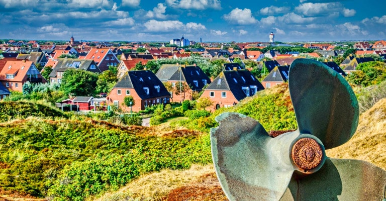
Despite its small size, Langeoog is an island paradise with an area of about 20 square kilometers, offering visitors a sandy beach about 14 kilometers long. The island has a breathtaking dune landscape with dunes that can grow up to 20 meters high. These dunes are arranged from west to east, with Flinthörn dunes, South dunes, Kaap dunes and Heerenhus dunes.
Where is Flinthorn located?
In the southwest of the island is the Flinthörn, a distinct salt marsh and dune area that developed from an independent accumulating sand plateau. The Flinthörn dike, built from 1937 to 1944, now surrounds this unique landscape and leads to various stages of dune development up to the older gray dunes. Flinthörn has been protected as a nature reserve since 1963, but visitors can still enjoy the Flinthörn Nature Trail, which starts at the 7.4-meter-high Flinthörn Dike and leads to a viewing platform at the edge of the dune and on to Flinthörn Beach.
North of the Flinthörn dunes are the southern dunes, which are joined in the southeast by an extensive island forest. This forest was created after World War II on the former military airfield and can be explored via hiking, biking and riding trails as well as a fitness trail.
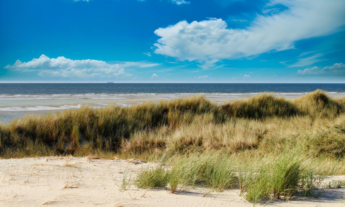
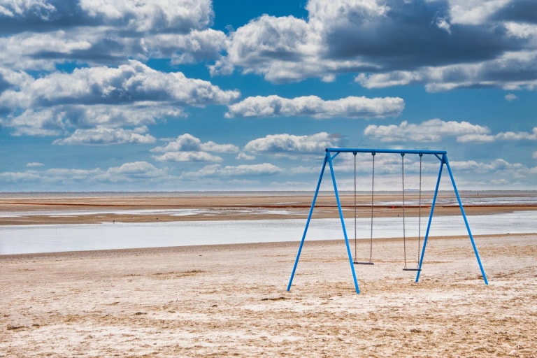
Langeoog beach
The Kaap Dunes follow the South Dunes in a northeasterly direction and separate the residential area of the island village from the official beach sections that begin here. Visitors can also walk along the high promenade path that leads through the dunes in an easterly direction to the Heerenhus dunes and the long Pirolatal.
In the interior of the island, south of the Pirolatal, lies the so-called Meedland. It is bordered in the south by the old polder dike, which was built in 1932/1933. The dike also bears the name Schniederdamm (Sniederdiek) because it was built in emergency work under the supervision of a Langeoog tailor.
The highest elevation on the island and for a long time the highest natural elevation in East Frisia is the Melkhörn dune, which is about 20 meters high. It is located in the Melkhörn dunes, east of the Pirolatal.
In the Great and Small Schlopp, located in the southern part of the island, there is a 218-hectare salt marsh area created by the construction of a 5.5-kilometer-long summer dike. This was renaturalized between 2002 and 2005, when a compensation area was needed in the Accumer Ee during the laying of the Europipe I and II gas pipelines.
Langeoog is not only a breathtaking island with a beautiful landscape, but also contains a freshwater deposit in the sediment below the island core, which varies in size depending on the height of the dunes. However, this deposit has been severely threatened for some years by storm surges in winter, which increasingly break down the protective dunes north of the Pirolatal.


