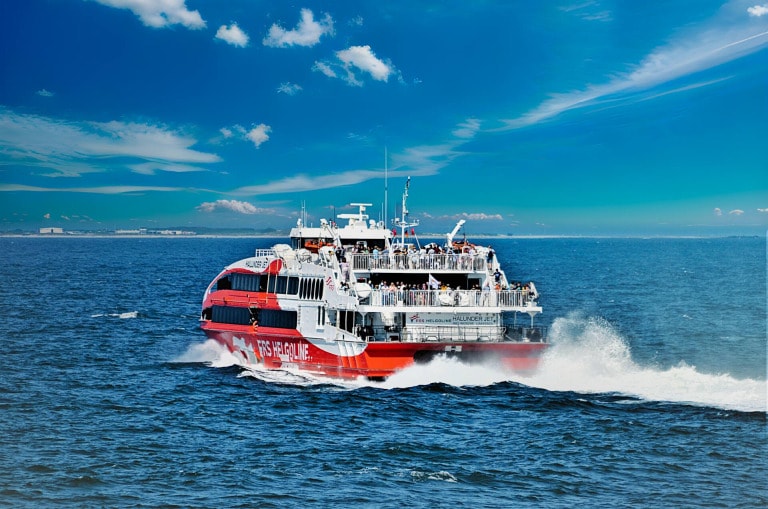
In order to answer this question correctly, it must first be made clear that Heligoland not from a single, but rather from two Islands consists. The main island and the secondary island called Dune. Both Islands together make up the total island group, which is known as the Heligoland as well as alternatively known as Deät Lun, from. Originally was Heligoland a single, estimated to be considerably larger, island in the North Sea.
A storm in 1721 caused the main island to break into two islands and a lot of land was lost to the sea. Nowadays Helgoland has a total area of 170 hectares, which corresponds to an area of 4.2 square kilometers. This total area refers to everything that is connected with the North Sea island Helgoland in terms of the natural size of the island is associated.
The main island has an area of about 1.2 square kilometers, while the side island Dune is noticeably smaller with 0.7 square kilometers. Who now notices that this together corresponds to an area of 1.9 square kilometers, should be told that he is right at first glance. However, the figure of 4.2 square kilometers corresponds to the truth, since the 1.9 square kilometers refers exclusively to the common land area of both islands. These land areas are those areas that can be used by the people of Helgoland for residential areas and settlements as well as for tourism operations.
Since Helgoland's total size of 4.2 square kilometers also includes the sea areas, this difference between the land areas as well as the total stated size of Helgoland is thus understandably explained. Although there are hardly any serious records of the time before the great storm of 1721, it is generally assumed that the original size of Helgoland was once about 7 square kilometers. This is, however, a pure conjecture of some geology experts, who, however, could not deposit any evidence for their conjectures.